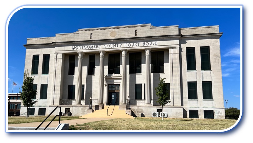
Monday – Friday 8:00am – 5:00pm

To facilitate our services to the community, we may be out of the office. Please call our office first prior to visiting – we don’t want to miss helping you!

The Montgomery County Mapping Office serves the community, cities, emergency services, Kansas, and the Federal Government with mapping requests. The office manages all maps and mapping services for Montgomery County. 

Our mapping imagery has recently been updated! If you would like an aerial image of your property, please email us for this community service. We are able to email or print the image on standard copy paper at no charge. Larger sizes of images or maps are available for a fee to cover cost of printing.

Montgomery County GIS Parcel data is available from Kansas GIS Dasc

911 Addressing

The GIS Mapping Office is responsible for the NG911 addresses in Montgomery County. We work in cooperation with the State of Kansas NG911 services and local emergency services. An accurate NG911 address ensures that emergency services will arrive timely and safely. 

The NG911 address is based on the location of the driveway and the location of the building. For this reason, vacant lots are not addressed. If you are planning to build, please have a site plan available to assist us in locating the building.

We also work with NG911 to perform an annual review of current addresses, by sector, and update addresses as needed. We understand that an address change can be a challenging process and we strive to make it as smooth as possible. 

How do I get a 911 address for my property?

Properties located outside city limits.

Properties located within city limits.

If your property is outside the city limits, the first step is to establish your driveway and site plan. Please follow the steps below:

  1. Contact Public Works (620-330-1170). The Public Work office determines if the property will need a driveway or culvert. They will visit your property and provide our office with location information.
  2. Once the Mapping office has the potential driveway or culvert location information, we calculate the mapped location for the residence or building. Using the driveway and other information, an NG911 address is calculated.
  3. The Mapping office will update the state NG911 system with the exact location of the driveway and building.
  4. Keep in mind that we are not able to update GPS Mapping apps or other services. Both the postal service and the state update Google, Apple Maps, Syngic, and other online mapping services on a quarterly basis. It may take up to a year or more for GPS to show your new address.

Most cities address properties within the city limits. Contact your city office first.